Automatic Landslide-Quake
Identification
Identification
Climate change is increasingly causing severe natural disasters globally. Landslides are also most likely to increase under the potential intensification of the hydrological cycle. Effective detection of landslides is vital to mitigate their severe impacts. Our researchers have developed an automatic landslide-quake identification system for landslide detection and location, which can provide more precise occurrence times of landslides for historical events and presents the potential for implementing a nearly real-time alarm system for large landslides.
Assessment of Forest Restoration
Climate variability and man-made impacts have severely damaged forests around the world in recent years. Our researchers have proposed a new three-level decision tree approach to map forest, shadowy, bare and low-vegetated lands sequentially by integrating three spectral indices. Their work supports the use of multi-temporal remote sensing imagery as a reliable source of data for assessing the effectiveness of forest restoration regularly.
01
Net-Zero Carbon Emissions
Guided by the four pillars of Green Campus, Circular Economy, Energy Conservation, and Low-Carbon Transition, NCKU is advancing concrete and measurable carbon reduction actions to reduce greenhouse gas (GHG) emissions and achieve carbon neutrality by 2041:
● Promoting a low-carbon campus and encouraging green transportation
● Establishing a circular resource management system
● Developing an intelligent Energy Management System (EMS)
● Deploying renewable energy, carbon capture, and carbon sink technologies
● Advancing sustainability education and cultivating green-collar talent
02
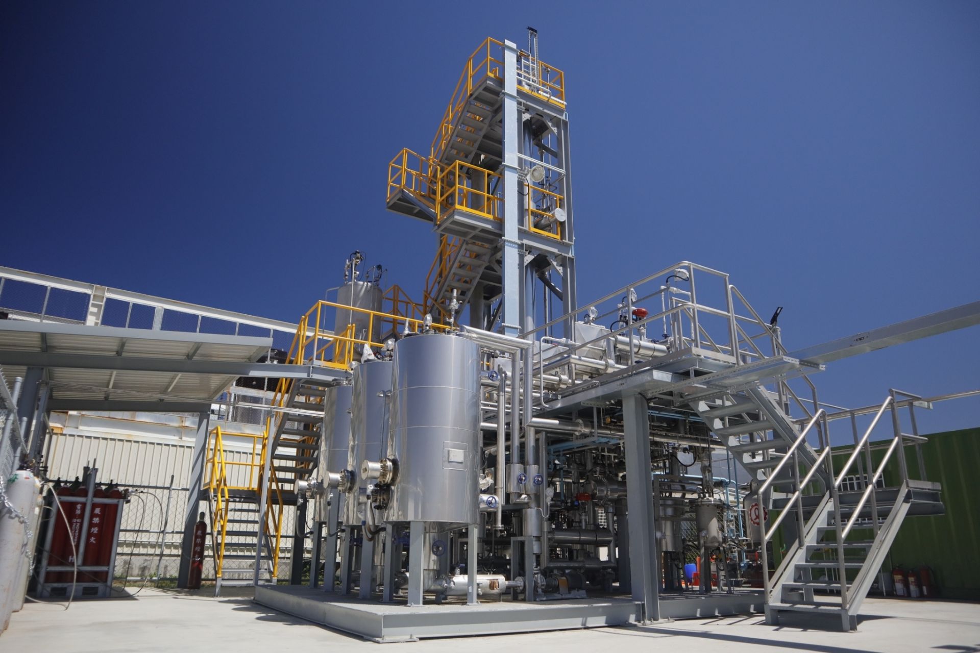
Carbon-Negative Factory
We established Taiwan’s first carbon-negative factory for promoting carbon removal technology across various industries in Taiwan, including some of Taiwan’s largest corporations. The factory turns carbon dioxide into a resource for petrochemical materials and is divided into two sections: CO2 capture and purification and purified CO2 alkylation for reuse.
03
Tree Planting and Care
The University is actively working towards making its campus greener by simultaneously working on various activities such as:
● Routinely organizing plantation drives on the campus.
● Identifying and protecting older trees on the campus.
● Setting up an electronic map and database of campus trees for effective management and education.
● Attaching QR codes to each tree so that anyone can find more information on that tree species.
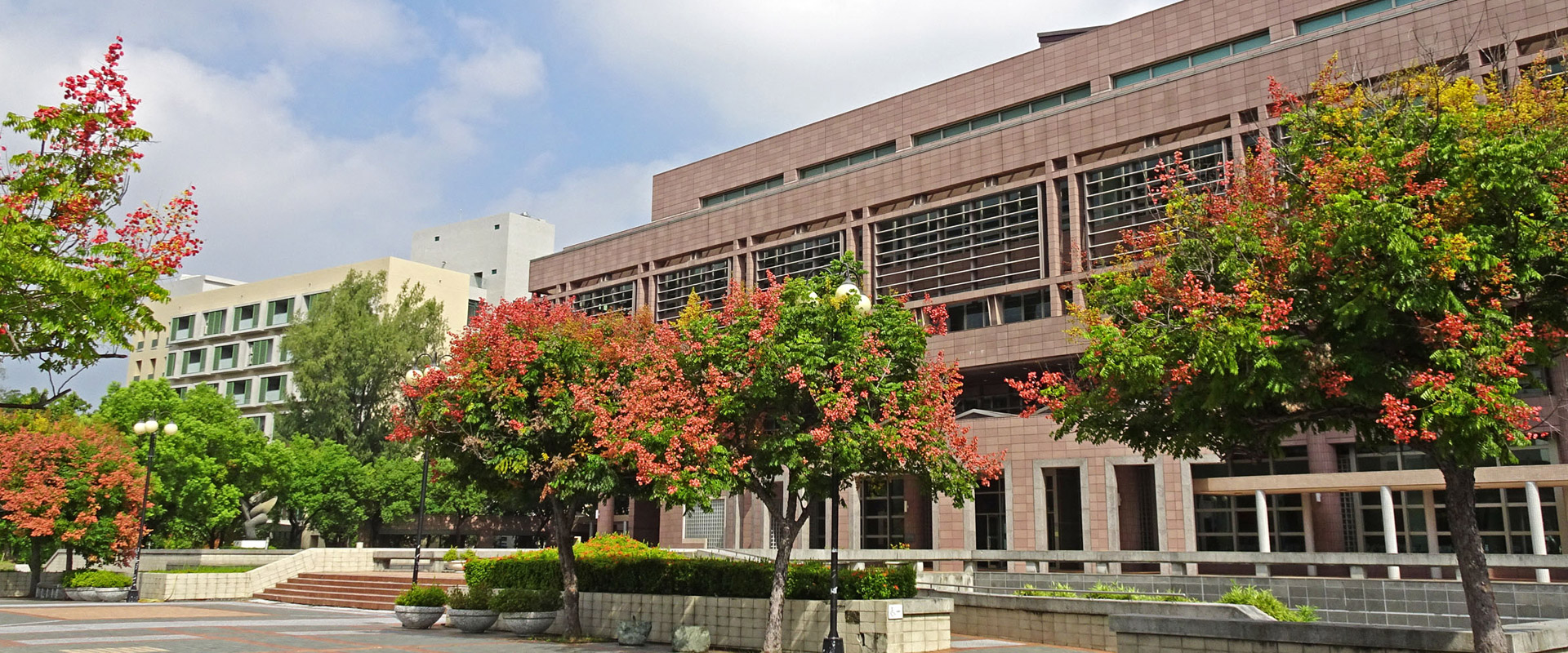
● Regularly conducting campus tree walks to educate the public and NCKUers on the importance and techniques of tree conservation.
Global Climate Data Analysis
Our scientists at the Global Earth Observation and Data Analysis Center (GEODAC) are working on developing and applying the multi-stage remote sensing platform to observe the global environment at crucial moments and places and providing analyzed results and value-added products to support the demands from various realms. It will help accurately forecast extreme weather conditions, thus helping the government in disaster preparedness.
Example Courses:
CCEP1017
Design Thinking for SDG13 Propothon
EV3208
Atmospheric Pollution and Climate Change
GE2521
Global Warming and Extreme Weather Events
EV7008
Climate Change and Air, Water Resource Management

